
Geotechnical Engineering — Soil Properties & Classification
Characterize soils by grain size, plasticity, density, and unit weight for design of foundations and earthworks.
Introduction
Soil classification groups soils by particle size, plasticity, and organic content so engineers can communicate behaviour and select tests. Index properties (water content, void ratio, Atterberg limits, relative density in coarse soils) support estimates of shear strength, stiffness, permeability, and settlement.
Classification systems (USCS, AASHTO, local road or rail codes) use the same basic tests but different boundary rules—always follow the governing project standard.
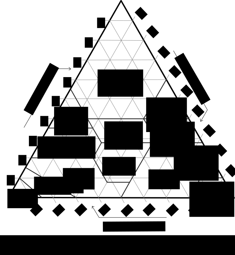

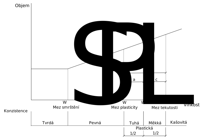

What soil characterization produces
- Named soil classes and layer descriptions for logs and drawings.
- Index properties (w, e, ρ, Gs, LL, PL, PI, Dr, …) for correlations and design.
- Basis for selecting strength and compressibility parameters and groundwater assumptions.
- Quality trail for testing (SANS 3001 or equivalent) and sampling method.
Standards (South Africa)
SANS 6341 provides soil classification for civil engineering purposes; SANS 3001 series covers geotechnical test methods (sampling, classification tests, strength, consolidation). Align reporting with the project’s geotechnical investigation report and client requirements.
Notation (common)
- Gs — specific gravity of solids.
- w — water content (% in the calculator below).
- e — void ratio.
- γd, γ — dry and moist bulk unit weight (kN/m³).
- LL, PL, PI — liquid limit, plastic limit, plasticity index.
Examples in practice
- Foundation design: classify bearing layers and select drained vs undrained parameters.
- Earthworks: moisture–density relationship and compaction specification.
- Pavement: subgrade classification and CBR correlation.
- Excavation: soil type for support system and dewatering.
Calculator — unit weight from void ratio
Saturated-phase relationships: γw = 9.81 kN/m³. Water content w is entered as a percentage to match the calculator implementation.
Unit weight
Moist bulk unit weight γ from Gs, void ratio e, and water content w (%).
Key terms
- Void ratio (e)
- Volume of voids to volume of solids.
- Specific gravity (Gs)
- Ratio of soil particle density to water density.
Software and geotechnical data
Offices use database, logging, and analysis tools for boreholes, lab results, and ground models. Examples (official sites):
- gINT — borehole logs and geotechnical data management.
- PLAXIS — geotechnical finite-element analysis.
- GeoStudio — seepage, slope stability, consolidation.
- Autodesk Civil 3D — civil/geotechnical workflows with industry extensions.
- Rocscience — slope and tunnel tools.
No product endorsement—select tools to match your office’s data standards, QA, and deliverable format. Index properties must come from approved testing, not from this calculator alone.
Diagram sources
Educational schematics. Files in Images/soil-properties-classification/ were downloaded from Wikimedia Commons into this repo (not copied from other topic folders). Confirm licence on each Commons file page before reuse.